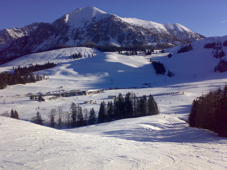
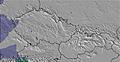
Strobl at the Wolfgangsee/Postalm Weather (Next 3 days): The snow forecast for Strobl at the Wolfgangsee/Postalm is: A heavy fall of snow, heaviest during Sat afternoon. Becoming milder with light rain (total 4.0mm) on Sun night. Freeze-thaw conditions (max 1°C on Sun afternoon, min -2°C on Sat morning). Mainly fresh winds.
Strobl at the Wolfgangsee/Postalm Weather (Days 3-6): A light covering of new snow, mostly falling on Tue morning. Becoming milder with moderate rain (total 17.0mm) heaviest on Tue afternoon. Freeze-thaw conditions (max 5°C on Thu morning, min 0°C on Tue morning). Wind will be generally light.
Strobl at the Wolfgangsee/Postalm Weather (Days 6-9): Some drizzle, heaviest during Sat afternoon. Freeze-thaw conditions (max 7°C on Fri morning, min 0°C on Sat night). Wind will be generally light.
Strobl at the Wolfgangsee/Postalm Weather (Days 9-12): Mostly dry. Freeze-thaw conditions (max 7°C on Wed morning, min 0°C on Wed night). Wind will be generally light.
Strobl at the Wolfgangsee/Postalm Weather (Days 12-16): Mild at first with light rain (total 2.0mm) on Thu afternoon followed by colder weather and light fall of snow, heaviest on Sat night. Freeze-thaw conditions (max 6°C on Thu morning, min -5°C on Sat night). Wind will be generally light.


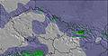


 Nearest
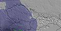